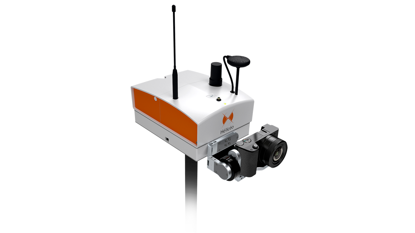
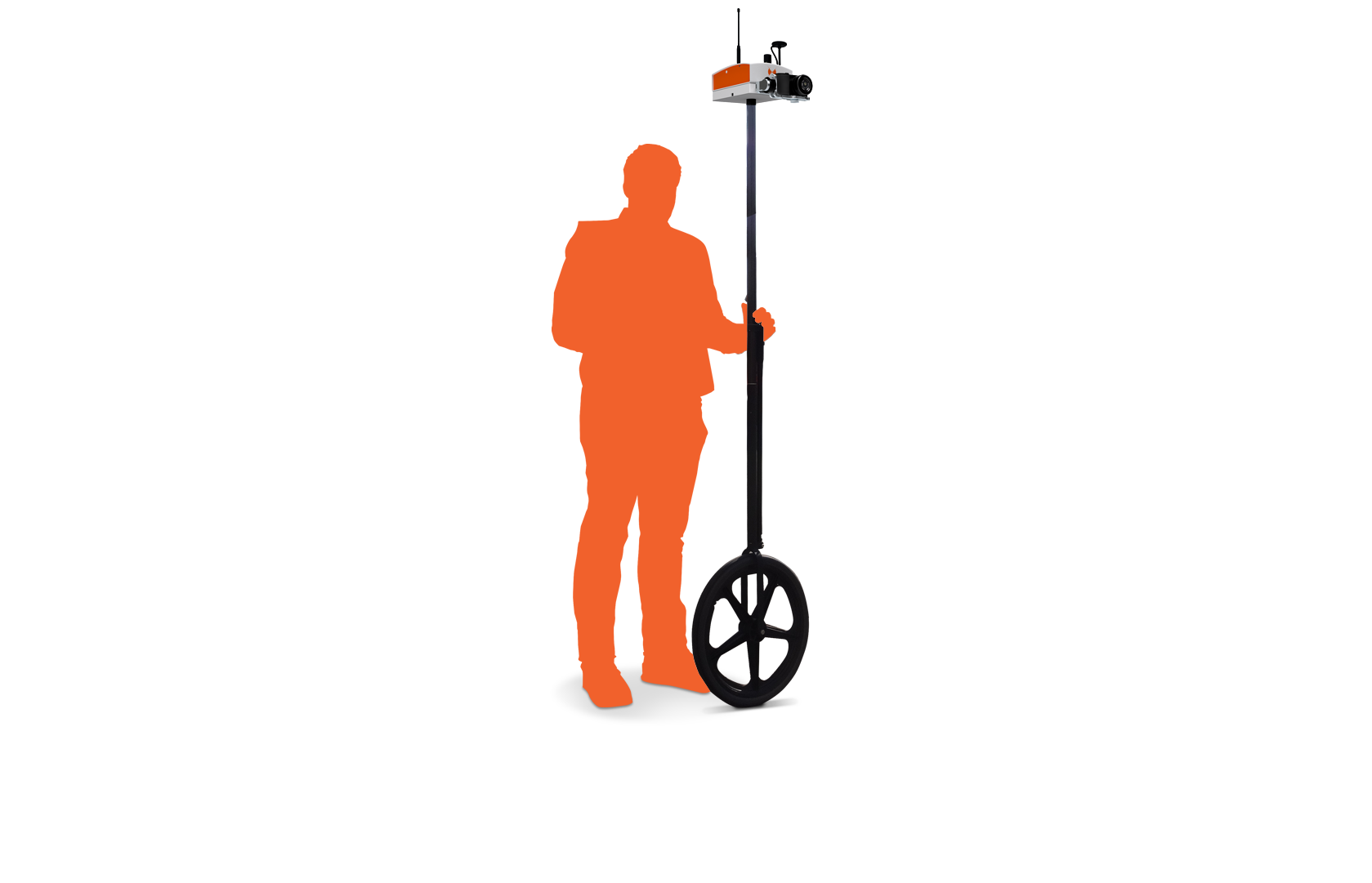
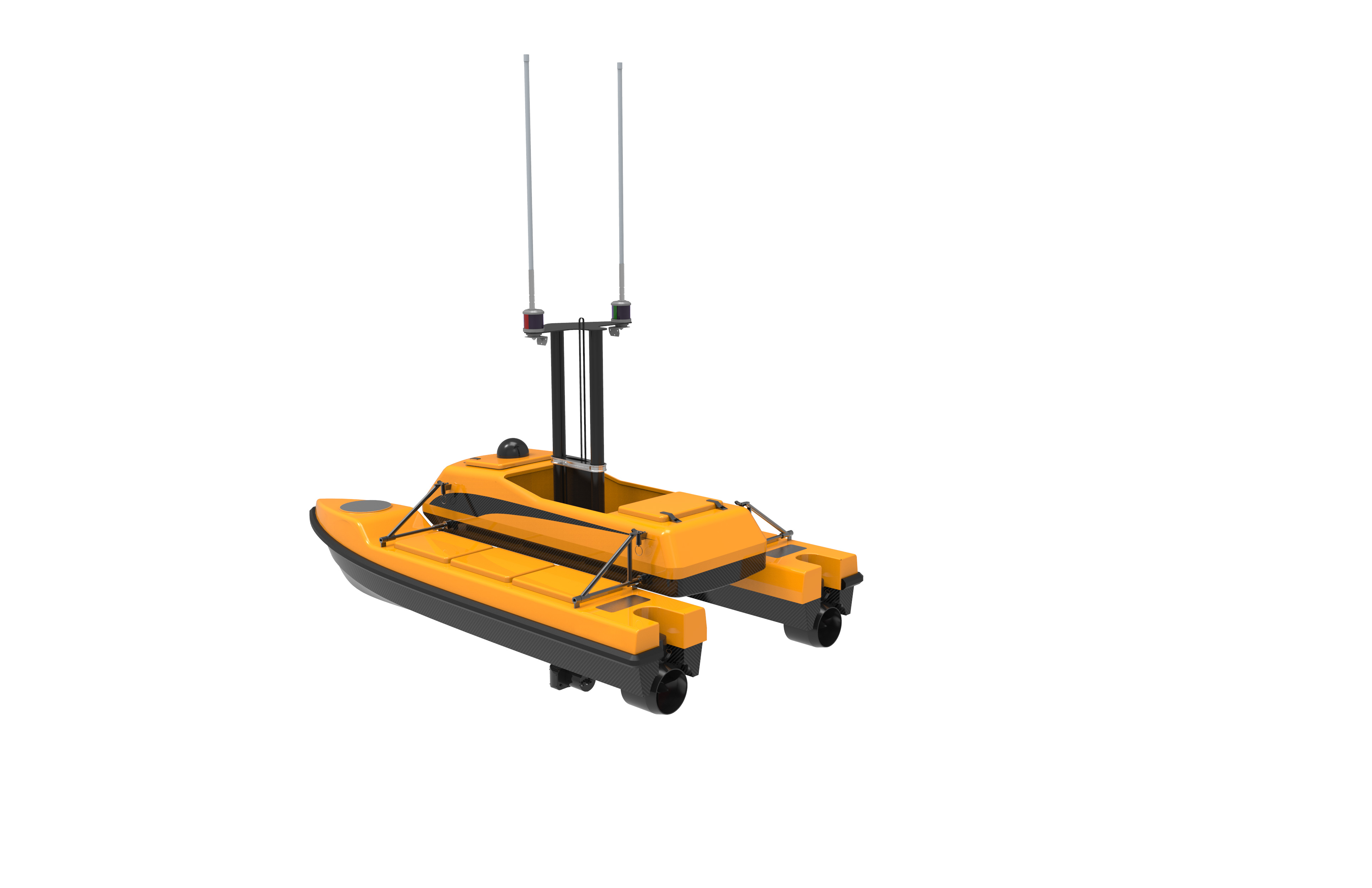
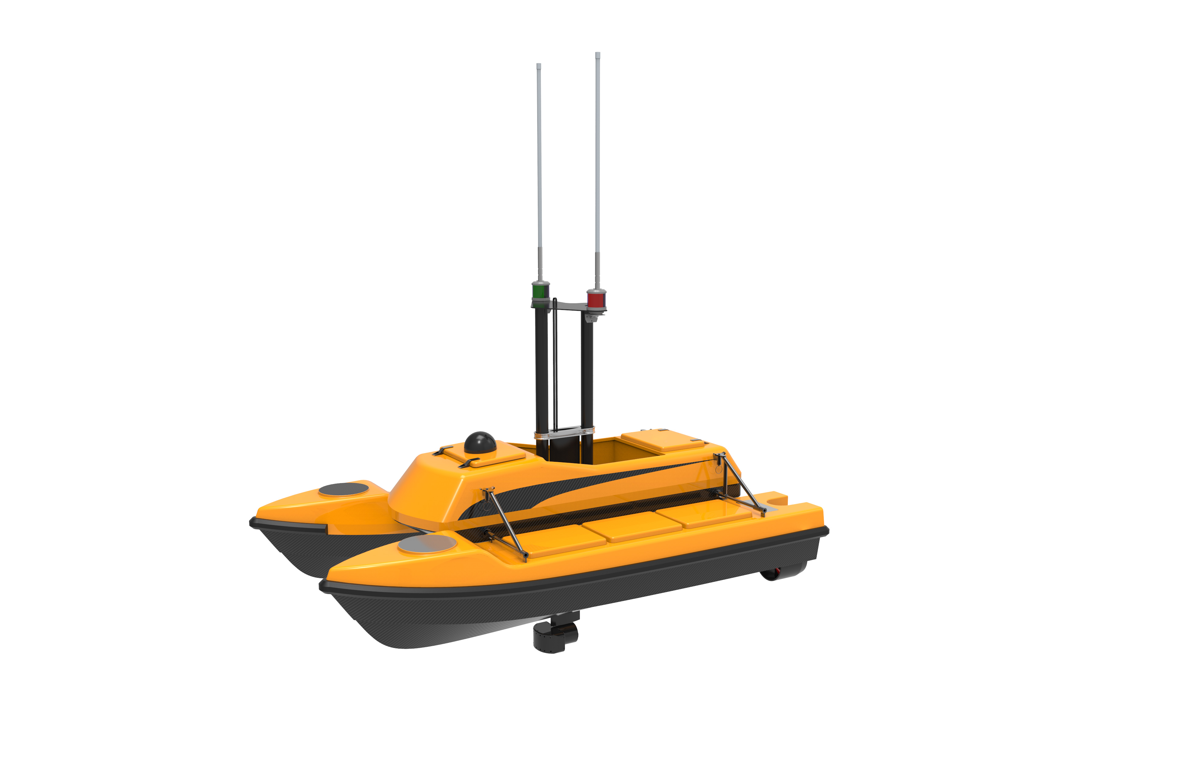
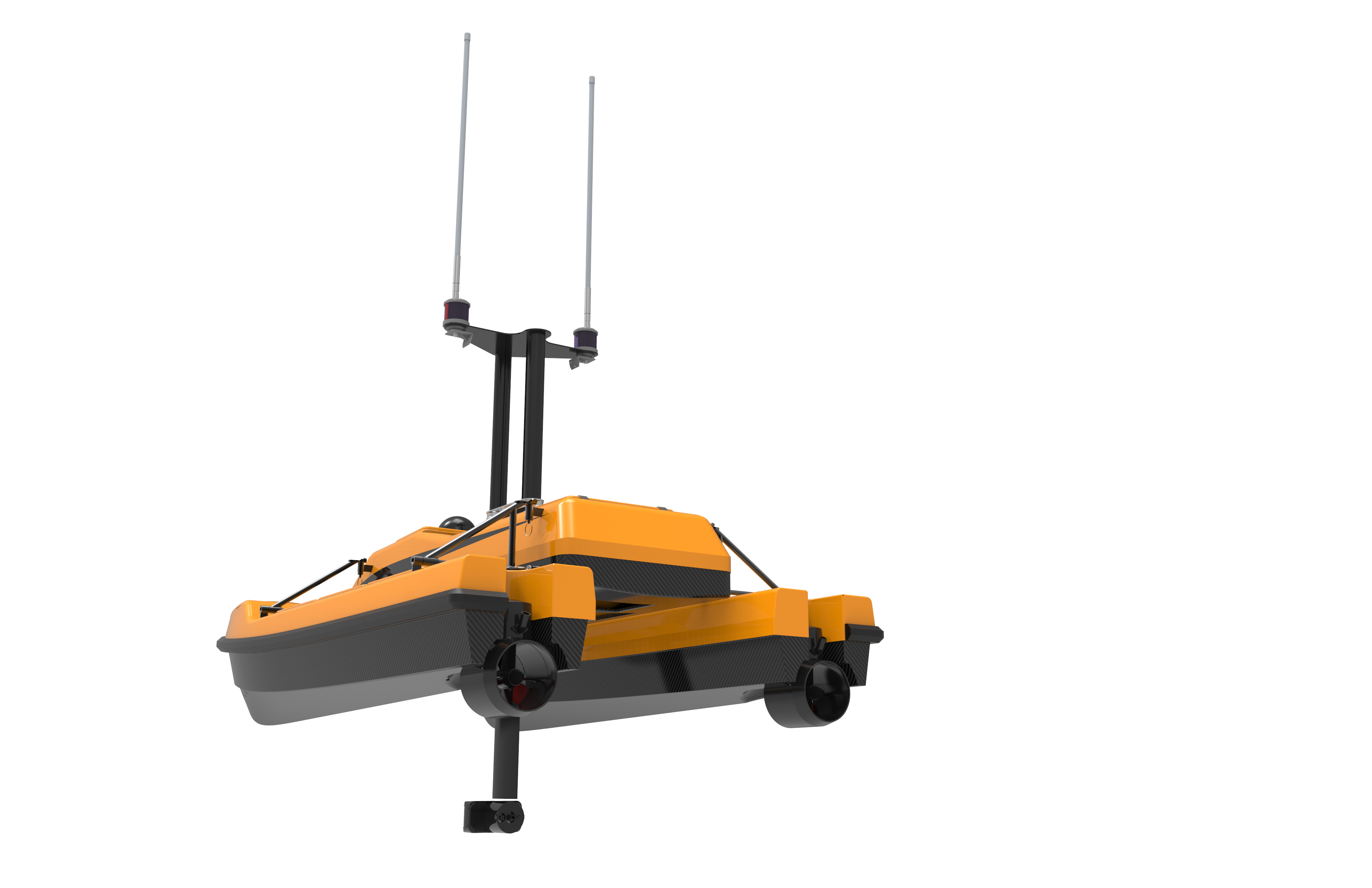
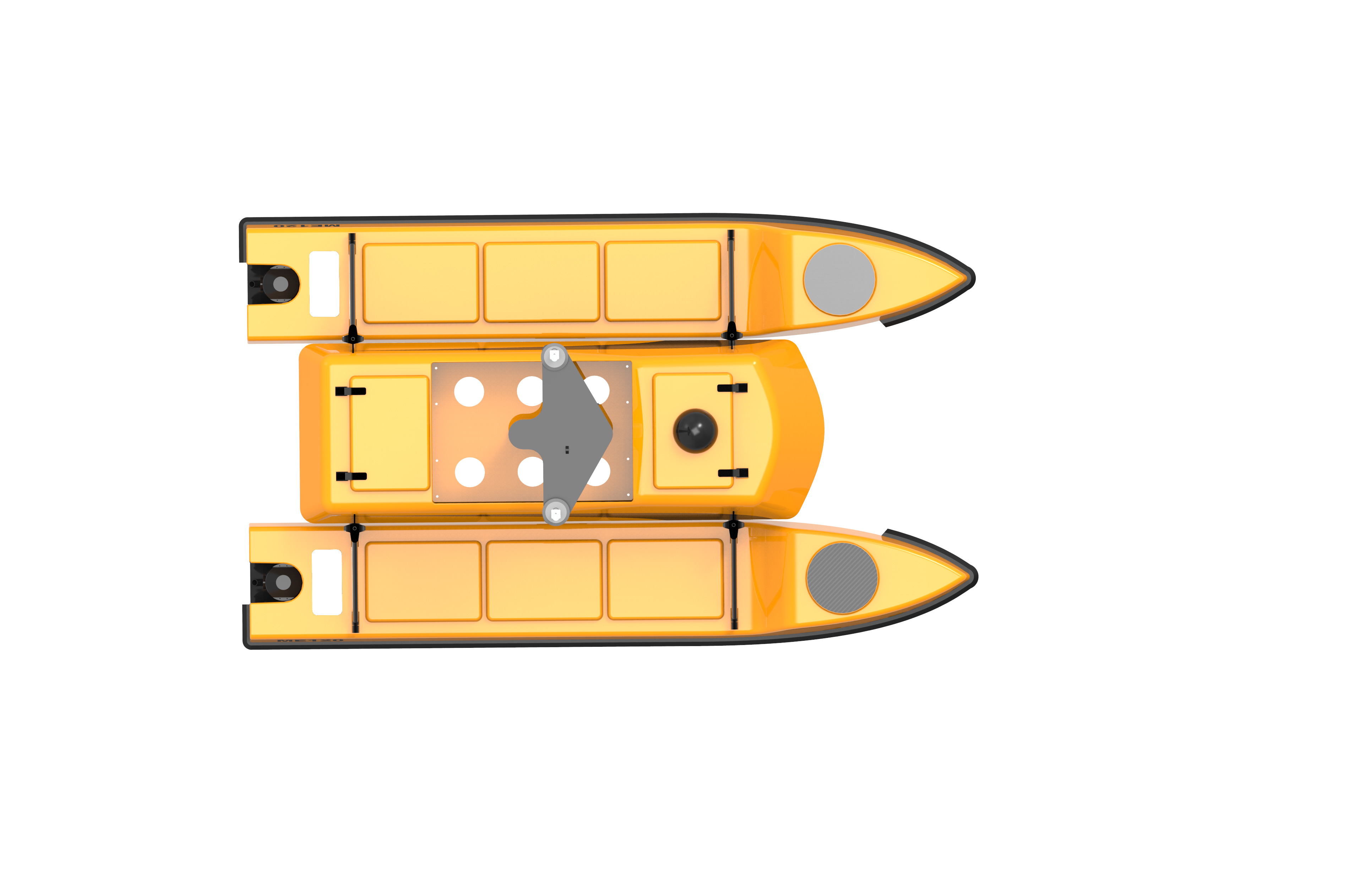
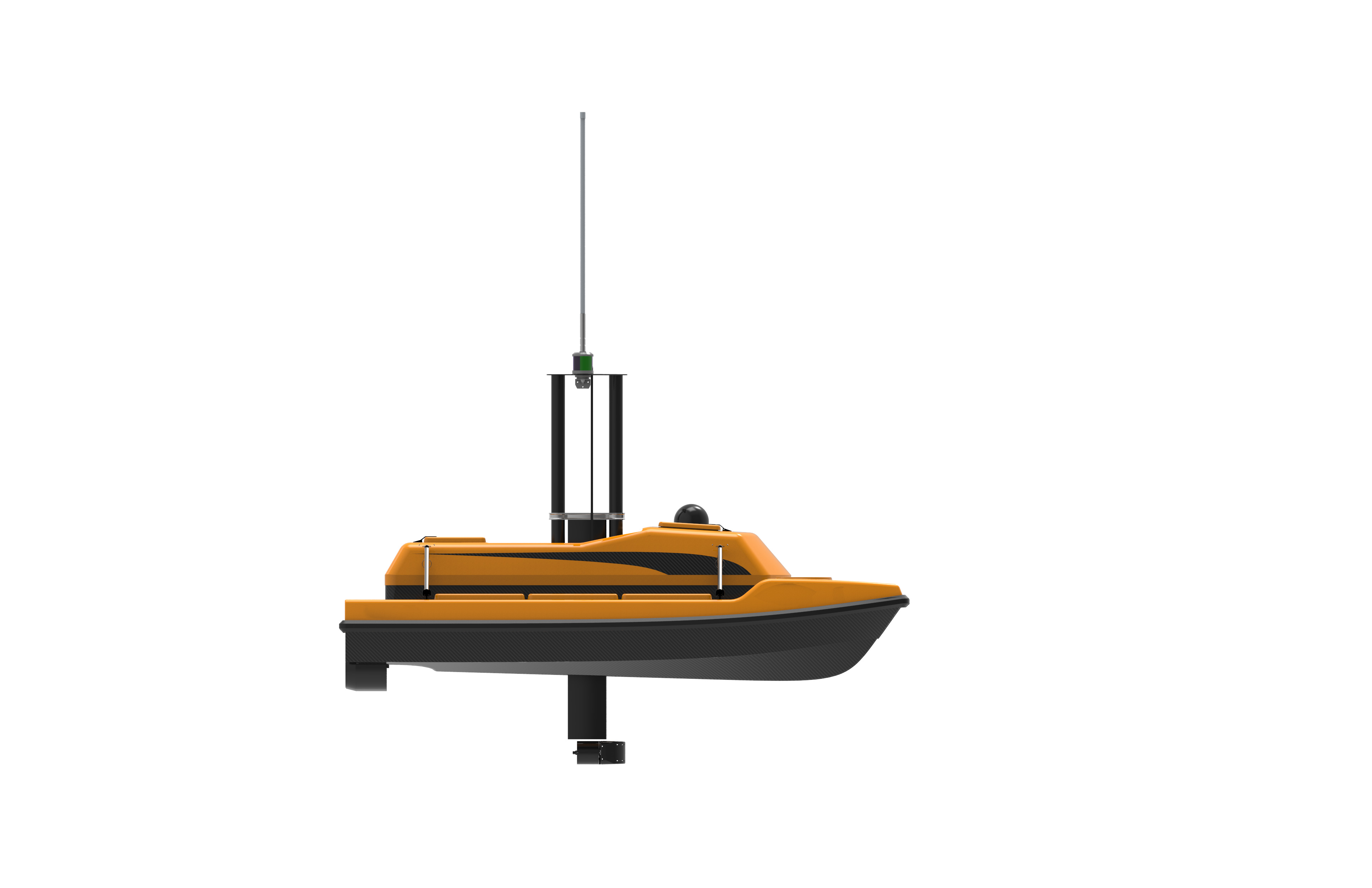
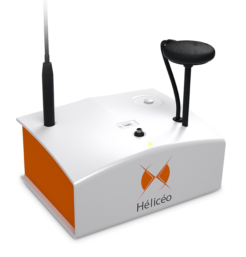
Hélicéo DRONES


One of our new service is to provide drones for geomatics and precision measurement for professionals. The Hélicéo drones is well known product that being used as up to date innovative tools for surveyors and topographers. Specializing for geomatics, the product offers comprehensive solutions for aerial, terrestrial and bathymetric cartography for 3D georeferenced mapping. We’re is at your service for:


• Flight of your drone missions

• Creation of DTMs / DSMs

• Point clouds creation and edition

• Orthophotos creations

• Production of 3D videos.

By integrated with fully automated, the Hélicéo drones products include VTOL airplanes, multirotors and bathymetry and terrestrial photogrammetry solutions. These products use one of a kind DroneBox technology, a modular “Plug and Play” core which works with all Hélicéo products, thus reducing hardware investment. Here, we’re also offers services including services, training and access to the photogrammetric chain required to process topographic data.

DRONEBOX RTK : PRECISION MEASUREMENT


Hélicéo created the DroneBox technology in order to meet the demands of professionals for multiple applications as well as to address the economic challenge of needing multiple types tools.

SUPERFOX6, THE LiDAR AND PHOTOGRAMMETRIC DRONE SURVEYOR


Multiply your flight time by 3 with the 43 minutes autonomy of the SuperFox6


The SuperFox6 drone surveyor has 43 minutes autonomy. Thus, it triples the capabilities of its predecessor: the Fox6. A single flight of SuperFox6 is equivalent to 3 flights of Fox6. In addition, this aerial multi-rotor drone is fully automated. It can carry out a wide variety of topographic surveys up to 150 hectares (370 acres). The SuperFox6 drone surveyor is designed for large photogrammetric missions. It allows the orthophotos, point clouds and DTM production. It is also compatible with the new Hélicéo LiDAR System.

SUPERBATHY, BATHYMETRIC DRONE


Bathymetric drone catamaran


The SuperBathy is an automatic bathymetric drone with a dual technology of aerial or aquatic propulsion. Thanks to a doubled autonomy compared to its predecessor, this drone can be used during 10 hours of mission. Its completely new waterproof design allows it to be compatible with a LiDAR system for scanning banks and bridges. In addition to underwater topography, the SuperBathy opens you to the world of water analysis and underwater imaging. Floats are completely redesigned to double the carrying capacity. They are now equipped with two twin motors that allow you to work in difficult current conditions. The motors are redundant which offers a very high tolerance to malfunction. The SuperBathy is more jobs, more autonomy and more security!

FUSION, VERTICAL TAKEOFF AIRPLANE DRONE (VTOL)


The smart VTOL airplane drone


Fusion is a fully automatic VTOL airplane drone created for long distance photogrammetric surveying. Its innovative vertical takeoff system (VTOL) allows for takeoff and landing in all types of sites.

FOX4, PROFESSIONAL MULTIROTOR DRONE


The smart drone for mapping and inspection


The Fox4 is a multirotor drone with 4 carbon blades. Its light structure and engine allow for extreme maneuverability with manual piloting. Designed for automatic photogrammetry missions up to 1.5 km², Fox4 may also carry out missions for inspection of infrastructure, structures, network lines or industrial sites, in automatic or manual mode

LiDAR


Embedded LiDAR technology on drones


LiDAR technology is a laser remote sensing technique that maps a 3D environment using accurate direct georeferencing.


It is used in many applications: precision agriculture, forestry, mining and quarrying, roads and railways, infrastructure and power lines inspection, and archeology.

FOXYWALK, SOLUTION FOR TERRESTRIAL PHOTOGRAMMETRY


Easy terrestrial photogrammetry


FoxyWalk is a platform for professional acquisition of terrestrial photogrammetry in pedestrian mode. It is aimed towards surveyors, topographers, architects, archaeologists. It allows the shooting of photos which would be inaccessible from the sky (facades, arches, etc.) and creation of 3D models.

GIGABATHY200, SURFACE MARINE DRONE COMPATIBLE WITH MULTIBEAM


Suitable for use at sea


The GigaBathy200 is a surface marine drone designed for bathymetry and marine monitoring. Compatible with a wide variety of sensors, including multibeam, it can intervene in many applications: hydrographic surveys, coastal monitoring, harbour monitoring, oceanographic surveys, or accident rescue assistance.

  • 1.jpg
  • 2.jpg
  • 3.jpg
  • 4.jpg
  • 5.jpg

DroneBox RTK,

solution for precision measurement

A multi-drones compatible technological core


Hélicéo created the DroneBox technology in order to meet the demands of professionals for multiple applications as well as to address the economic challenge of needing multiple types tools.


This “Plug & Play” device is adaptable across Hélicéo’s entire range of products, allowing you to perform precision measurement with multiple vehicles and sensors while reducing your investment.