IMAJING
IMAJING MOBILE MAPPING TECHNOLOGY
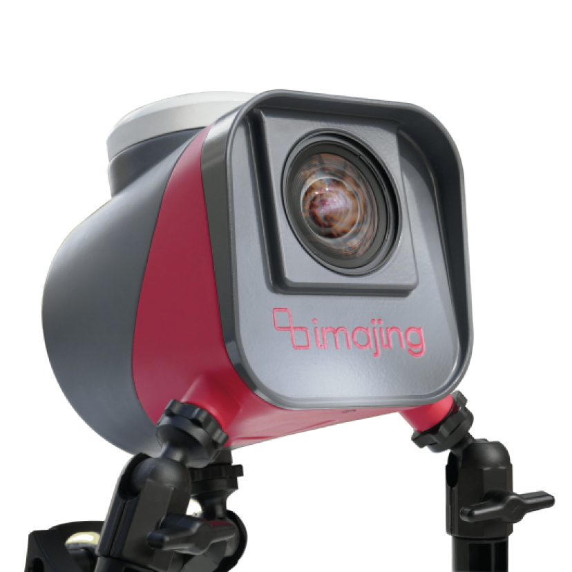
We provide France-made Mobile Mapping Systems; - Imajing camera. This system are the combination of various navigation and remote sensing technologies on a common moving platform. They are capable of providing fast, efficient and complete data collection. There are often three main components in MMS: positioning system, camera(s) and lidar.The positioning is done through GPS/GNSS and inertial measurement units. By using these systems, the data can be recorded continuously and accurately.
The images recorded are taken through the use of RGB cameras that are equipped with a CMOS global shutter or CCD sensor through which the colored images of persons and objects are acquired. Lidar, Light Detection and Ranging, is a remote sensing method that uses light in the form of pulsed laser to measure ranges to the Earth.
This technology is already used in road and rail maintenance, mapping projects and to improve the safety of infrastructures.
The imajbox® technology integrates all of these concepts and delivers the information needed on a very large scale, at a minimized operational, computing and storage cost. As a consequence, running regular surveys becomes affordable when using imajing technologies, enabling new approaches in network monitoring and change detection.