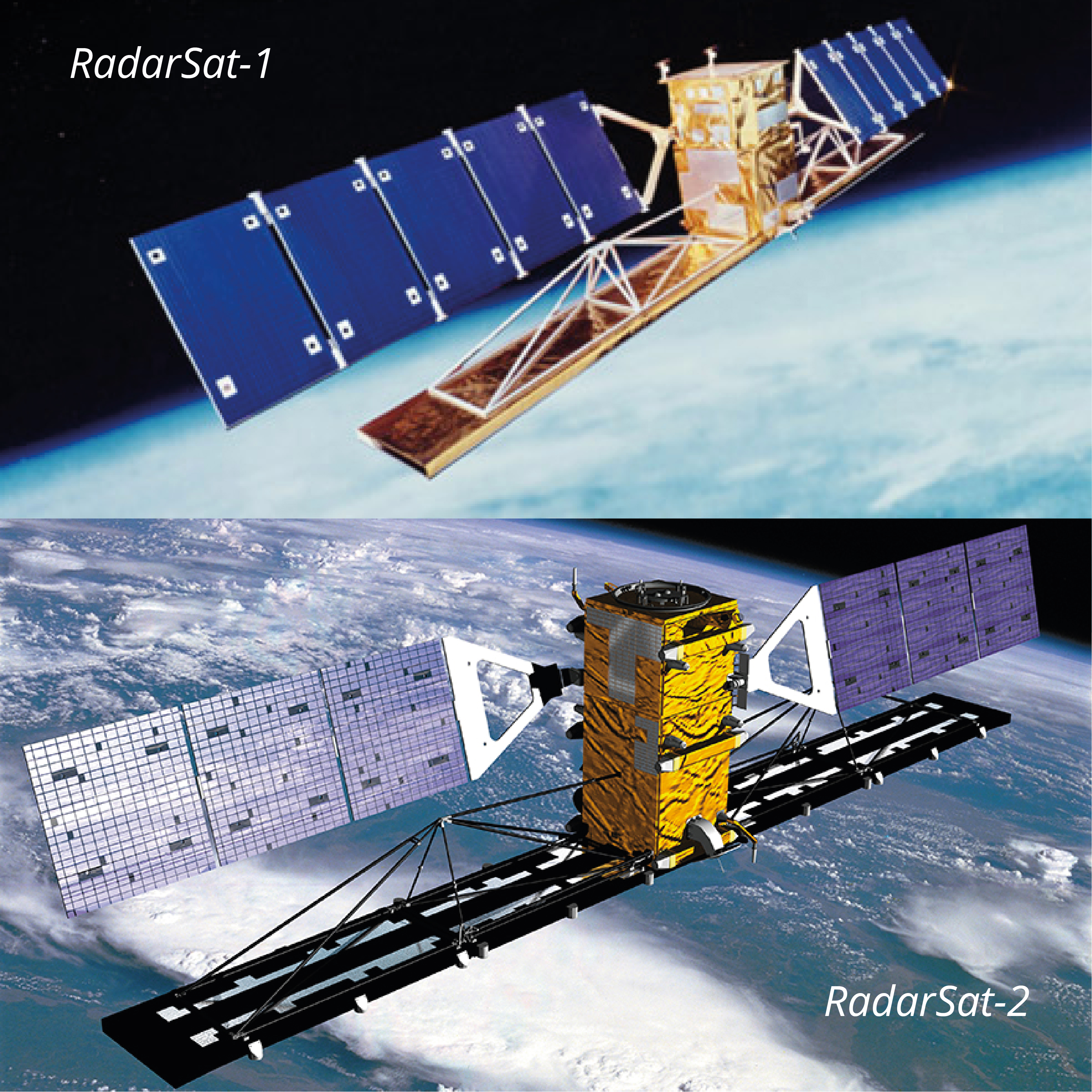
In the Year 2010, we are being appointed as Master Distributor for supplying RadarSat. 1 and RadarSat. 2 Satellite Imagery from MacDonald, Dettwiler and Associates Ltd (MDA) in Malaysia. Radar Image uses a Synthetic Aperture Radar (SAR) sensor to image the earth using microwave frequency.
Unlike optical satellite that sense reflected sunlight, SAR system transmit microwave energy towards the surface and record the reflections. Thus, Radar image can image the earth, day or night in any atmospheric condition such cloud cover, dust or haze. Both satellites provide different beam modes and different image solution as subject to coverage, resolution and cost.