GEOGRAPHIC INFORMATION SYSTEM (GIS) AND REMOTE SENSING (RS) DIVISION
Sky-Shine Corporation has an outstanding track record of undertaking and executing geospatial projects specializing in GIS and RS Geospatial Solutions. Based on decades of knowledge and experiences, we are fully geared with committed and qualified team to meet the stringent demands of clients of all sizes.
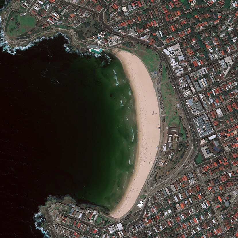
Sky- Shine constantly aim to grasp new heights with keeping abreast with the latest technologies to provide unprecedented geospatial solutions with advanced hardware and software to the nation. We provide accurate surveying services including the integration of valuable geospatial data such as high resolution and medium resolution optical satellite imagery from Maxar Technologies, airborne radar (IfSAR) data and LiDAR.
GEO-SPATIAL INFORMATION TECHNOLOGY SERVICES
Sky-Shine offers a full range of Geo-Spatial information technology services from data conversion to application development and implementation. Our areas of expertise, for which we have undertaken hundreds of projects conducted on behalf of a range of public and private sector agencies, include of the following services :
•GIS System Development and Implementation
•Digital Mapping and Data Acquisition
•Data Conversion and Migration
•Remote Sensing Services and Geospatial Data Provider


